
Backcountry Navigation Course
Course Description
Master the art of route planning with our comprehensive Backcountry Navigation Course. Designed for skiers, splitboarders, and year-round mountain travelers, this hybrid program equips you with the essential skills for both advanced digital mapping and traditional analog exploration.
In an era crowded with digital mapping apps, it is easy to feel overwhelmed by the data. This course bridges the gap between modern software and traditional field skills, empowering you to build bulletproof route plans. Under the mentorship of certified ACMG guides, you will learn how to seamlessly integrate digital tools with classic navigation techniques to travel through complex terrain with total confidence.
Course Content
1. Digital Mapping & Route Planning Software
Unlock the full potential of modern navigation technology. You will gain hands-on experience using leading platforms like Gaia GPS, CalTopo, and Google Earth to:
- Build, customize, and analyze digital route plans before heading into the field.
- Read complex terrain layers, slope angle shading, and historical satellite imagery to identify avalanche hazards.
- Understand cross-platform integration to sync your desktop plans seamlessly to your mobile device for offline field use.
2. Traditional Analog Navigation (Map & Compass)
Technology can fail in cold, remote environments. We ensure you are never left stranded by anchoring your training in fundamental analog skills:
- Master map reading, understanding contour lines, and identifying terrain features on physical topographic maps.
- Learn practical compass skills, including taking and following bearings, adjusting for magnetic declination, and triangulating your exact position.
3. Real-World Field Execution
Put your digital blueprints to the test. During our field day, you will take the lead on navigating real-world terrain:
- Learn to constantly verify your digital location against physical landmarks.
- Practice real-time route adjustments based on changing weather, snow conditions, or visibility challenges.
Course Format
Course Format
Instruction Style
- A seamless hybrid progression—moving from interactive digital planning directly into real-world, practical wilderness application under the direct guidance of certified ACMG guides.
Enrollment & Available Dates
Pricing and Dates
- Price: $250 + GST per person
- Field Session Date: November 8, 2026
- Location: Kootenays, BC
Physical fitness
Sustained climbing and skiing at elevation demands aerobic capacity and leg strength.
Mountain experience
Prior backcountry skiing or mountaineering experience is strongly recommended before enrollment.
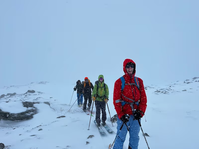
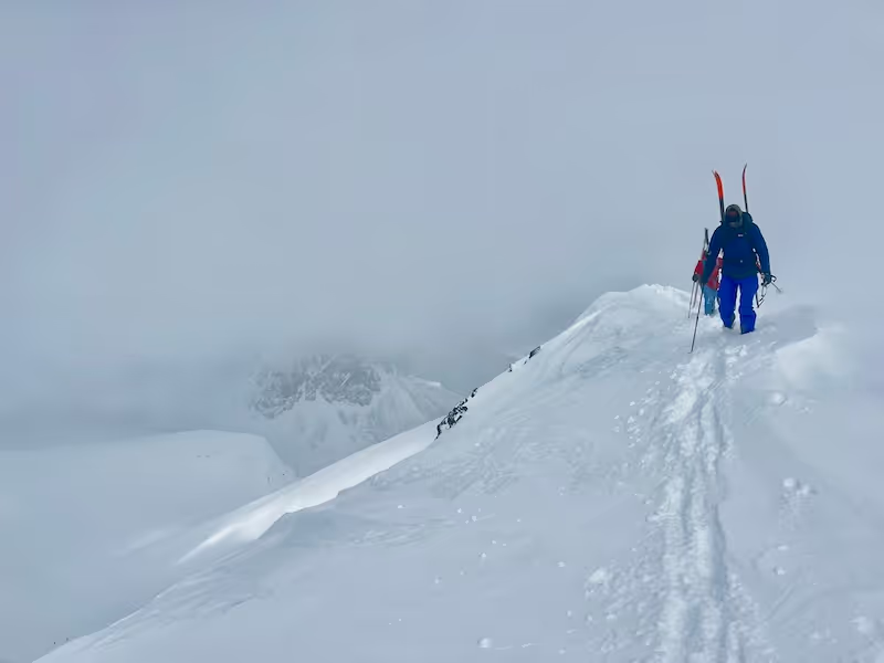
Equipment list
Gear List
Backpack: A 30L to 40L winter daypack to carry all extra layers, food, and navigation tools.
Navigation Tools (Analog & Digital)
Smartphone: Fully charged with your offline mapping apps pre-downloaded and updated (e.g., Gaia GPS, CalTopo, FATMAP).
Portable Power Bank: A lightweight external battery and charging cord to prevent your phone from dying in cold weather.
Baseplate Compass: A classic analog compass featuring adjustable declination.
Notebook & Pencil: A small, weatherproof notebook for taking down bearings and field notes.
Outerwear & Layering
Shell Layers: Waterproof, breathable (Gore-Tex or equivalent) jacket and pants.
Insulation: A high-loft puffy jacket (down or synthetic) for warmth during static navigation exercises.
Base & Mid-Layers: Moisture-wicking upper and lower body layers suitable for below-freezing conditions (avoid cotton).
Gloves & Headwear: One heavy pair of warm gloves, one lighter pair of liner/touring gloves, and a warm toque or beanie.
Eyewear:UV-blocking sunglasses for touring and goggles for descending or windy conditions.
Personal Essentials
Hydration: A minimum 1L wide-mouth water bottle or a vacuum-insulated Thermos (hydration bladder hoses will freeze).
Nutrition: High-energy, pocket-accessible snacks and a packed lunch for a full day in the field.
-Headlamp: A bright headlamp with fresh batteries or a charging cable (just in case the field day runs late).
-Personal First Aid Kit: Minimalist kit including blister care, athletic/climbing tape, and any personal medications.
Arctos Trip Inventory
The complete Arctos Trip Inventory